Where Is Iceland Located?
Iceland is famous for being an adventure-seekers' paradise, filled with glaciers, waterfalls, volcanoes, and much more that awaits you when you arrive! But before you can plan your trip, it’s important to know exactly where Iceland is located. Situated just south of the Arctic Circle, between North America and Europe, Iceland’s unique geography shapes everything from its natural wonders to its weather.
In this blog, we’ll answer your questions about Iceland’s location, nearby countries, and why renting a car is the perfect way to see it all.
Where Is Iceland On A Map?
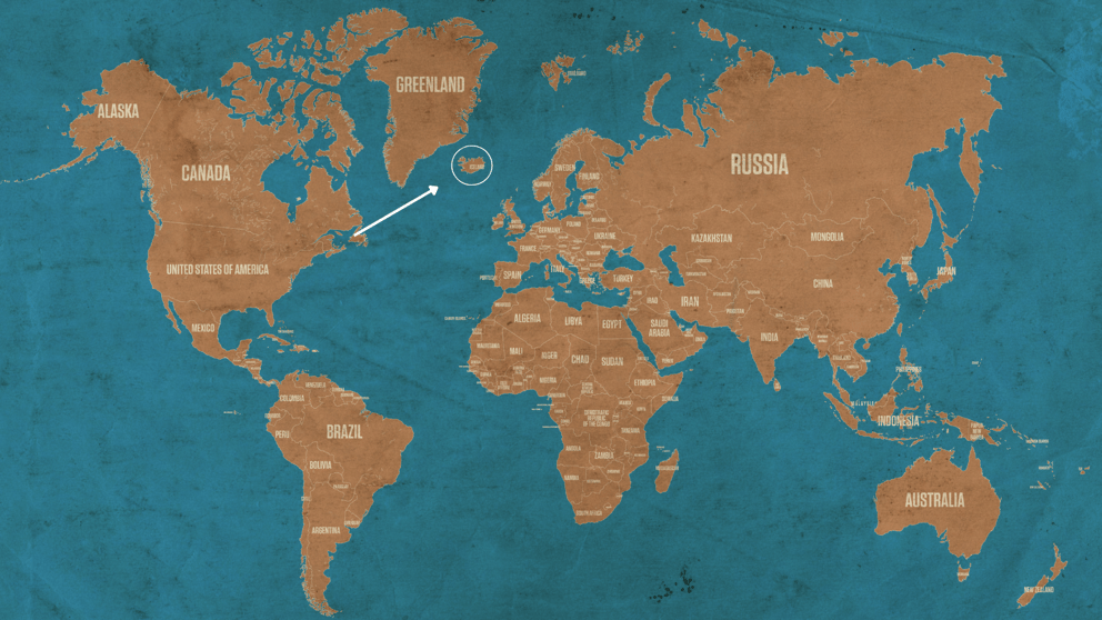
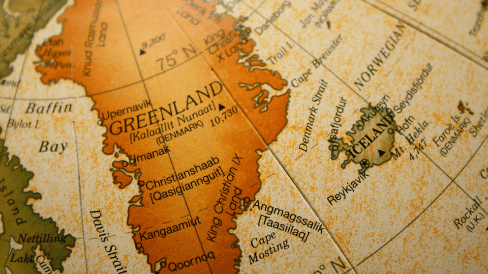
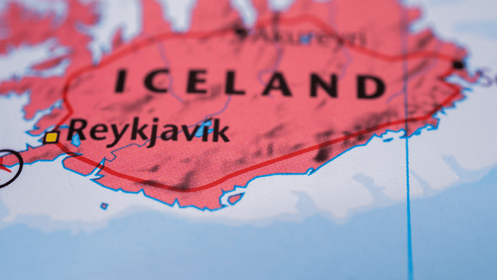
Put simply, Iceland lies just to the southeast of Greenland. On a world map, you’ll find it in the North Atlantic Ocean, northwest of the UK, between North America and continental Europe. The coordinates of this Nordic nation are 64.9631° N, 19.0208° W.
The island nation sits entirely in the Northern Hemisphere and mostly in the Eastern Hemisphere of the globe.

How Long Does It Take To Get to Iceland?
Despite its remote location, Iceland is surprisingly accessible. The fastest and most popular way to get to Iceland is to fly. A large percentage of visitors arrive in Reykjavík’s international airport, called Keflavík International. Flights arrive here all year round from some 60 destinations abroad, from which flight times vary massively.
If you are flying from the USA or Canada, flight times to Iceland usually sit between 5 and 9 hours. For example, a flight from New York takes approximately 5 hours and 50 minutes. If you are from Europe, you can expect a flight time of around 3 hours. From Keflavík International Airport, the drive to the capital city typically takes around 40 minutes, so make sure to factor this into your plans!
There is also the option to take a ferry ride on the M/S Norröna to Iceland from Denmark. This option is only available from mid-March to late November and takes up to 3 days, depending on the time of year. The ferry crossing also stops in the Faroe Islands.
What Continent Is Iceland On?
Technically, Iceland is located in Europe, but geologically speaking, it’s not that simple. Iceland is one of the few places in the world that straddles two tectonic plates: the Eurasian and North American plates. This means that part of Iceland is on the North American plate and part is on the Eurasian plate. If you visit þingvellir National Park, you can actually walk between the two continents!

If you aren’t familiar with the term, we’ll remind you - the Arctic Circle is an invisible line on the Earth’s sphere, one of the 5 rings of latitude that encircle the globe (like the Tropic of Cancer, Tropic of Capricorn, and so on). The Arctic Circle isn’t a fixed point but is usually around 66° north of the equator.
To answer the question, yes, a part of Iceland does pass into the Arctic Circle, making it the smallest country with any territory inside the Arctic Circle. This territory is Grímsey Island, a tiny island just off Iceland’s northern coast.
This means that Iceland shares characteristics with the other Arctic Circle countries, including cold winter months, temperate summer months, and, most spectacularly, the Midnight Sun and Northern Light phenomena.
Due to the Arctic Circle constantly shifting, it is estimated that Iceland will no longer be within the Arctic Circle by 2047.

What Countries Are Close To Iceland?
Considering making the trip to Iceland and curious about nearby countries to explore? The closest neighboring country to Iceland is Greenland, with the shortest distance between them lying at 730.21 mi (1,175.15 km) across the Denmark Strait. Other countries that are close neighbors to Iceland include:
- The Faroe Islands
- Scotland
- Ireland
- United Kingdom
- Norway
- Sweden
- Denmark
How Big Is Iceland?
Compared to other Nordic countries, Iceland is fairly small. However, Iceland is the 2nd largest island in Europe after the United Kingdom. Its area is around 103,000 km² (39,768 square miles), so you might expect the population to be larger than 390,000 - but it isn’t. The major cities, particularly the capital, are where the large majority of these people live, with small settlements around the more rural areas of the country. The rugged and inhospitable nature of the Highlands has historically prevented more settlements and large cities from developing.
Despite being a large island, the Ring Road traverses the outer edge of the country. It is well-maintained and makes many of Iceland’s most famous natural attractions accessible, with jam-packed road trips taking around 1 week to complete on average.
If you’re after an exciting 7-day holiday, renting a car in Iceland can be one of the best options! Browse our models today to find your perfect adventure.

